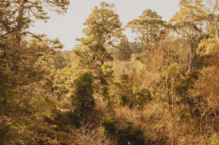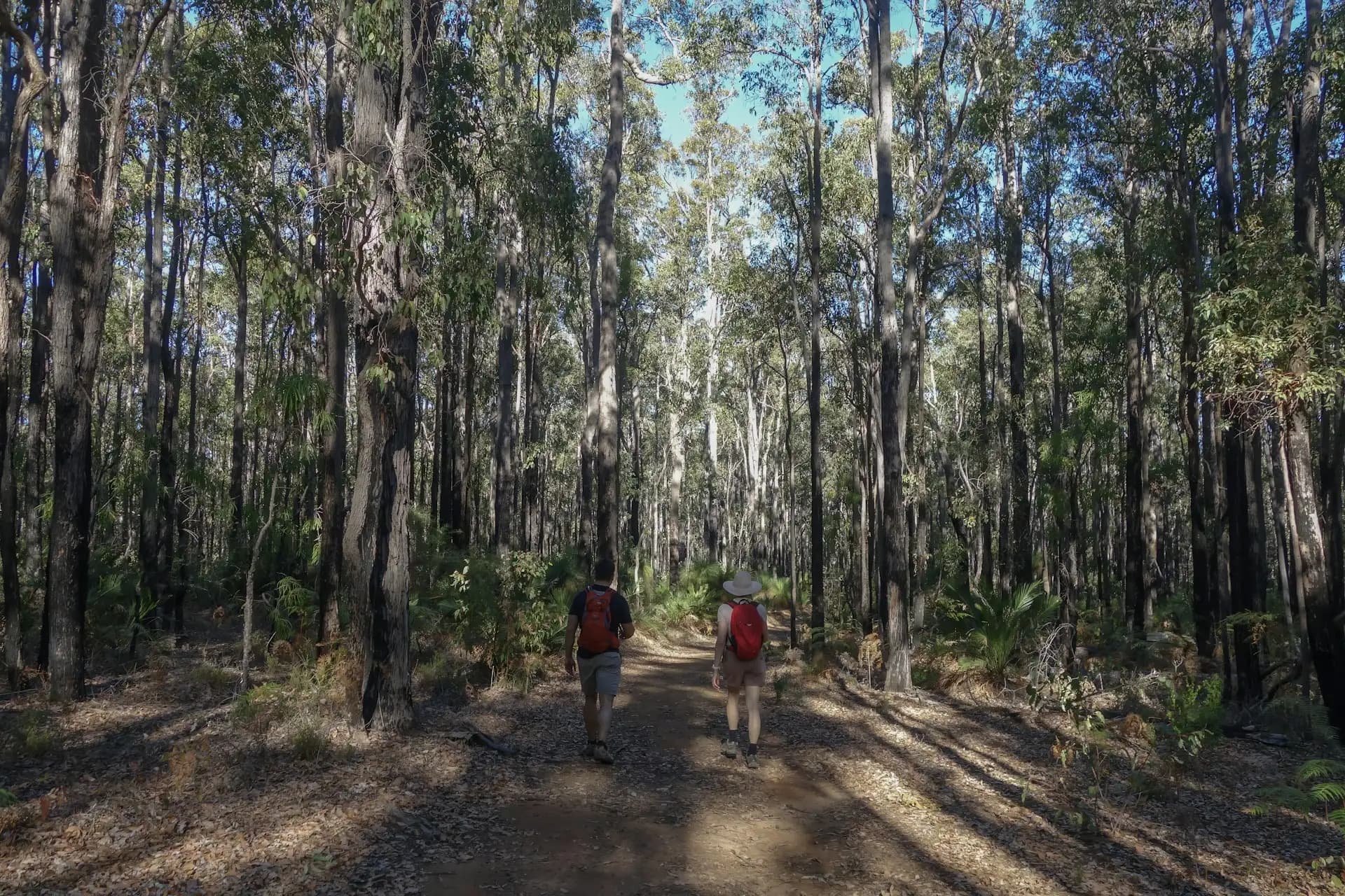
Bush tracks from the motel door, two waterfalls, a volcano you can drive into and a rock you have heard of
Hepburn Regional Park starts more or less where the village stops, and most of these walks begin within ten minutes of the motel. Distances and times are Parks Victoria’s. Tracks in the park can close after storms and on days of Catastrophic fire danger, so check Parks Victoria before a long one.
From the Door
- The Blowhole - A tunnel miners cut through a spur in the 1870s to divert Sailors Creek, off Blowhole Road in Hepburn. A viewing platform sits 100 metres from the car park; the diggings loop is 2.6km and about 45 minutes through old workings. Go in winter or spring, or after rain, because the creek runs dry in summer. (map)
- Reserve to Golden Spring - From the Mineral Springs Reserve past the Jacksons Lookout tower to Golden Spring, 2.8km and about 50 minutes one way, then on to Breakneck Gorge (another 2.2km) if you have a lift arranged at the far end.
- The Tipperary Track - The big one: Lake Daylesford to the Mineral Springs Reserve along old miners’ water races, about 15km and five hours end to end, past Tipperary Spring, Bryces Flat, the Blowhole and Golden Spring. Most people do a section. From the lake, the Twin Bridges loop is 2.6km and the Tipperary Springs loop 7.6km. One stretch east of Twin Bridges was still closed for storm damage at last check.
Easy and Flat
- Lake Daylesford Peace Mile - 2.8km of gravel and boardwalk around the lake, 40 minutes to an hour, past Central Springs and the Boathouse. Prams and dogs on lead are fine.
- Wombat Hill Botanic Gardens - Paths through 1860s gardens on top of an old volcanic cone above Daylesford, and the Pioneers Memorial Tower with its spiral stair to a 360 degree view. Free.
- Domino Rail Trail - Trentham to Lyonville on the old railway formation, 6km each way, wide, flat and all-weather, shared with bikes and horses. About 25 minutes from the motel.
The Volcano
Mount Franklin, Lalgambuk to the Dja Dja Wurrung, is a breached scoria cone 10 minutes north on the Midland Highway. The road spirals up and drops into the flat crater floor, where there is a free camping and picnic area under old conifers. The rim loop to the fire lookout is 1.7km, steep in parts, about 45 minutes, with views across the whole district. It is also where we send people for stargazing.
Waterfalls
- Sailors Falls - Five kilometres south of Daylesford on the Ballan road: a 20 metre fall with a mineral spring pump at the top and a short, steep descent to the viewpoint. The longer loop has been closed by storm damage for some time, so treat it as a lookout and a picnic.
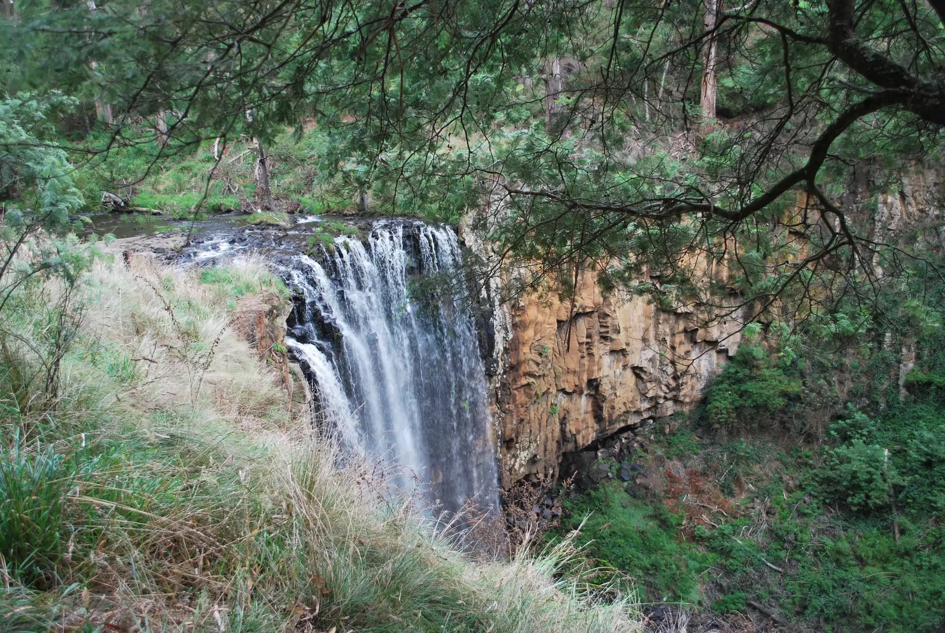
- Trentham Falls - At 32 metres the highest single-drop waterfall in central Victoria, over a wall of basalt columns on the Coliban River. An easy walk with steps from the car park to the viewing platform; the track to the base is permanently closed for rockfall. Best in winter and spring. About 25 minutes.
Further Afield
- Hanging Rock - Fifty minutes east. The summit trail is 1.8km return through the rock formations, moderate, no dogs; there is an entry fee per car and the trail closes in high winds and on Extreme fire days.
- Mount Macedon Memorial Cross - A 200 metre sealed, pram-friendly path from the Cameron Drive car park to the 21 metre cross and the lookout over the plains.
- Castlemaine and the Goldfields Track - see our Castlemaine guide. (read)
Know Before You Go
- Snakes are about from September to April. Stay on the track, wear closed shoes and keep dogs on the lead.
- The creeks, the Blowhole and both waterfalls are at their best after rain and can be a trickle by February.
- Phone reception drops out in the gullies. Tell someone which walk you are doing.
- Dogs on lead are allowed throughout Hepburn Regional Park and at Lake Daylesford, but not at Hanging Rock, and not at the motel.
Then the Bathhouse, which is the correct way to end any of these.